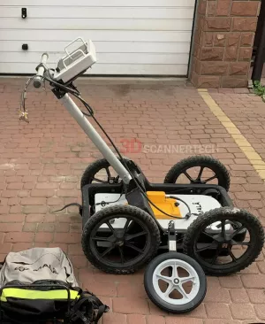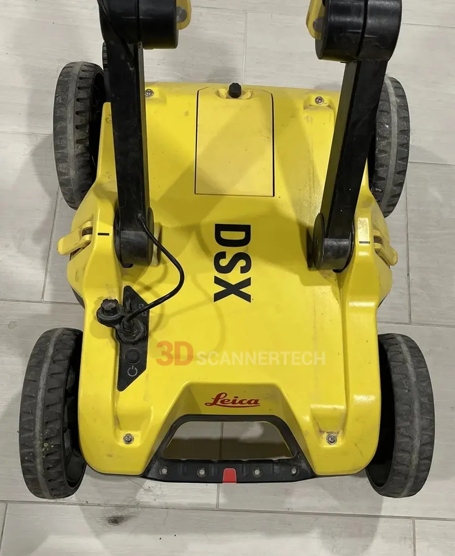
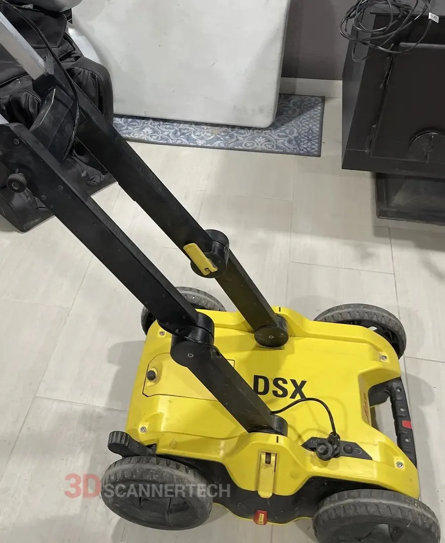
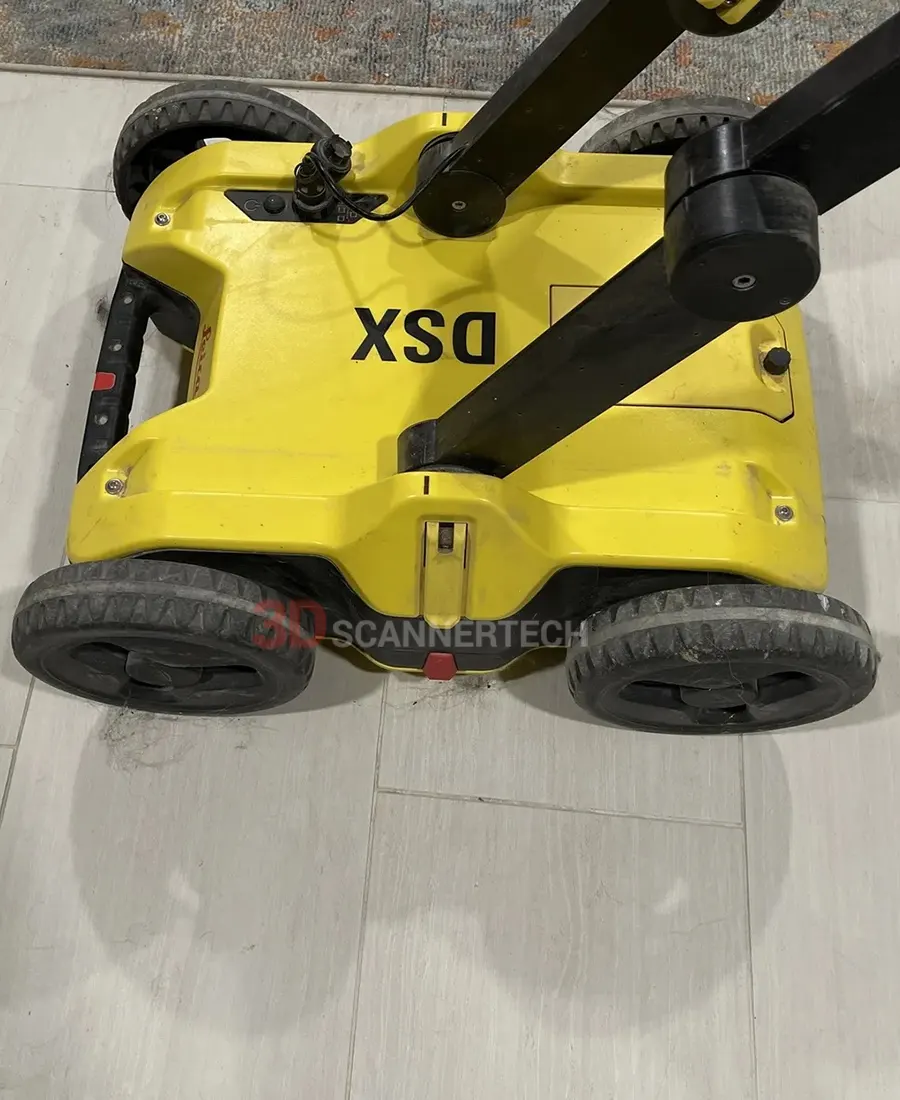
Used Leica DSX Utility Detection GPR
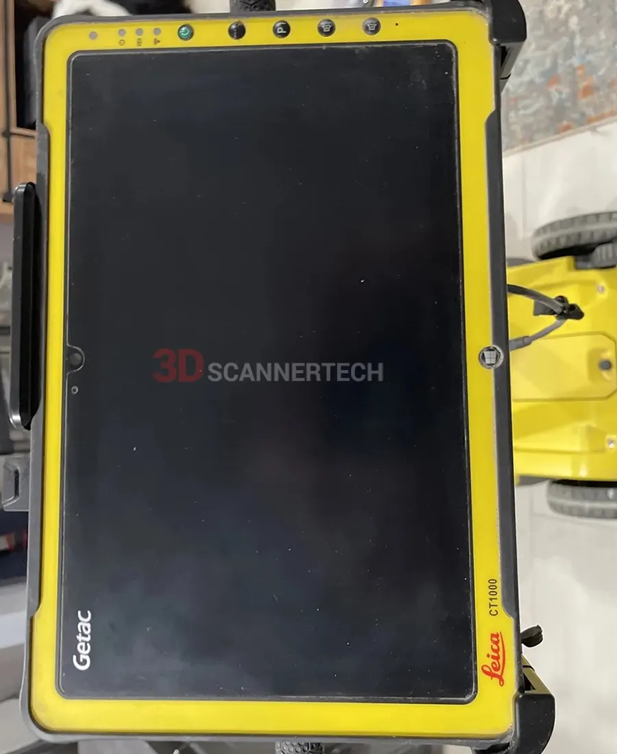
Used Leica DSX Utility Detection GPR for sale, almost like new, low hours scan used, Leica CT1000 tablet, backed with 12 month Leica warranty and 30-day money back guarante
Ground Penetrating Radar
Leica Geosystem
Used Leica DSX Utility Detection GPR for sale, almost like new, low hours scan used, Leica CT1000 tablet, backed with 12 month Leica warranty and 30-day money back guarante
Features
Ease of use
Reliable detection results
Instant 2D/3D utility map
Integrated solution
Applications
Underground Detection and Mapping
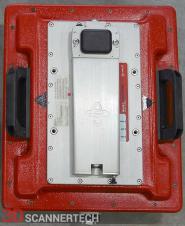
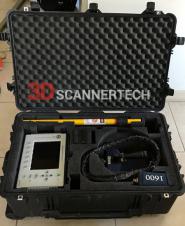
Leica DSX Utility Detection sale includes:
- DSX Utility Detection System #880935
- CT1000 Tablet Controller
- CMS1000 Controller Mount System
- LAN Cable
- AB1000 Accessory Bag
- GEB242 Battery
- GKL312 Charger
- GEV192-9 AC/DC Adaptor
- GAS1000 Grid Assistance Square
- 12 month extended Sensors & Software INC warranty
- 30-day money back guarantee
Leica DSX Utility Detection with 600Mhz brochure
Leica DSX Utility Detection 880935 datasheet
Uncovering utilities clearly and effortlessly
Reliable utility detection for everyone – simple detection workflow and results that anyone can understand
For utility repair and maintenance, civil engineering and surveying companies, the Leica DSX utility detection solution, consisting of a portable hardware with intuitive software allows to easily locate, visualise and map utilities. Unlike any other ground penetrating radar (GPR) system, the Leica DSX maximises productivity with cutting-edge software that automates data analysis and creates a 3D utility map on the field.
Ease of Use
Ensure smooth and accurate underground utility detection without expert knowledge
Complete utility detection and mapping in just a few steps through intuitive user interface
Scan anywhere and at any time, even in narrow areas and under severe conditions
Instant 2D/3D Utility Map
Save your time on site by mapping underground utilities in just minutes
Export utilities in CAD or BIM-read formats for further usage
Create professional reports on site to be used and shared immediately
Reliable Detection Results
Detect all types of underground utilities in high resolution to assure reliable avoidance zones
Verify detected utilities with support of smart algorithm
Import of POI's and utility records to help you make better decisions
Integrated Solution
Offer a complete workflow from acquire to excavate
Locate underground utilities with survey-grade accuracy
Generate utility maps, compatible with all coordinate reference systems
Collect Information
Start by collecting utility records from utility company or local municipality. Upload them into DXplore. If possible, go to the site before the job to perform a visual inspection. Use an Electromagnetic Locator (EML) to search for power cables and conductive utilities and mark them on the ground.
Map utilities
Set up the grid in the area of interest and collect information about all underground utilities with Leica DSX and take advantage of automated and supported post-processing on site, resulting in a 3D utility map. Leica DSX can be used together with Leica GPS/GNSS systems to generate highly accurate, georeferenced maps. Use additional information from STEP 1 in DXplore during data capture to support you in finalising the picture of the underground.
Excavate safely
Mark out utilities in the field based on the map or, for even more efficiency, send the utility map directly to an excavator with Leica MC1 software or other Leica software suites such as DX Manager Mapping, Infinity, Captivate. For further processing and overlay with additional geospatial data.
Marking Utilities - Adding POI's
Did you know that you can enhance your DSX project by adding Points of Interest (POIs), such as EML survey points, trenches, manholes and others? This helps you to interpret the DSX data in a more efficient and comprehensive way.
Marking Utilities
With Leica DSX you can mark directly the utilities on the spot. Detect all types of underground utilities in high resolution to assure reliable avoidance zones.
Data Acquisition
Did you know that with Leica DSX can be guided through data acquisition in real-time when used with a GNSS antenna or a total station? DXplore software allows you to follow a virtual grid precisely and efficiently, reducing preparation time and assuring highest data quality.